Saturday, April 1, 2023

Would I Lie to You?

Would I lie to you? Well, not intentionally. It's been almost two years since I last posted on this blog. At the time, I had just begun my Masters degree program in World War II Studies at Arizona State University. I intended to continue my Appalachian Trail hike with long section hikes during the semester breaks as I pursued my degree. On April 27, 2021, I set out on what I intended to be a 9-day section hike southbound on the AT through the Shenandoah National Park (SNP). Marci, Erin, and I were on a trip to Winchester, VA to visit our daughter, son-in-law, and grandson. We had dropped my truck at a hostel south of the SNP where I intended to be picked up by the hostel owner after completing this section. Marci dropped me off at the trailhead on VA 602 and I headed south on a beautiful but hot, sunny day. I hiked just over 12 miles to the Gravel Springs Hut were I camped for the night. During the day I passed several northbound thru-hikers as the traditional hiker bubble gradually moved up the trail. It was a beautiful section, but quite dry and very buggy.

Entering Shenandoah National Park

Sometime during this day or the following, I finally had an epiphany. It was not the epiphany I was expecting. Over my years of hiking and backpacking, I have always anticipated a glorious evening on trail where I would be at a campsite, soaking in the view, enjoying the sense of accomplishment from the day's trek and really feeling I was exactly where I was meant to be. I love hiking. I love walking from point A to point B on a trail. But I finally realized I was a proud day-hiker rather than a backpacker. I don't enjoy camping overnight on the trail. It's not because of any fear of the outdoors or anything like that and I've been at some beautiful campsites as well as many dull and dreary ones. But I never sleep well on trail. I'm usually exhausted at the end of the day when I arrive at camp and then face the chore of setting up my tent, preparing an unappealing meal (usually of some dehydrated packaged food), and then tossing and turning all night trying to get a decent rest. I'm always up early, partly because I haven't slept well, and quick to be on my way. My epiphany on this trip was that overnight backpacking and a thru-hike were not really what I wanted to do. This took me some time to come to grips with. For years I had envisioned myself as a backpacker and eventual AT thru-hiker. Facing my own reality was a bit challenging as I finally realized that was not who I am. Instead, I much prefer day-hiking and then sleeping in a fairly decent bed somewhere and having a good meal.

View along the trail.

With this revelation, the following day I called my trail angel wife and asked her to pick me up at the Elkwallow Wayside. I hiked the 6.3 miles from Gravel Springs Hut and Erin eventually met me there. The following Friday we all spent the night at the Big Meadows Lodge, a historic accomadation in the SNP. The weather had changed dramatically from hot and sunny to very cold and foggy with a driving, misty rain. It was a fun trip even though it turned out completely different than I had imagined it would.

My hiking days are not over and I have been on many hikes since then, some of which I'll be describing in future posts. I will also do some backpacking occassionally when in the mood. I may never finish the entire AT but I am good with that now.


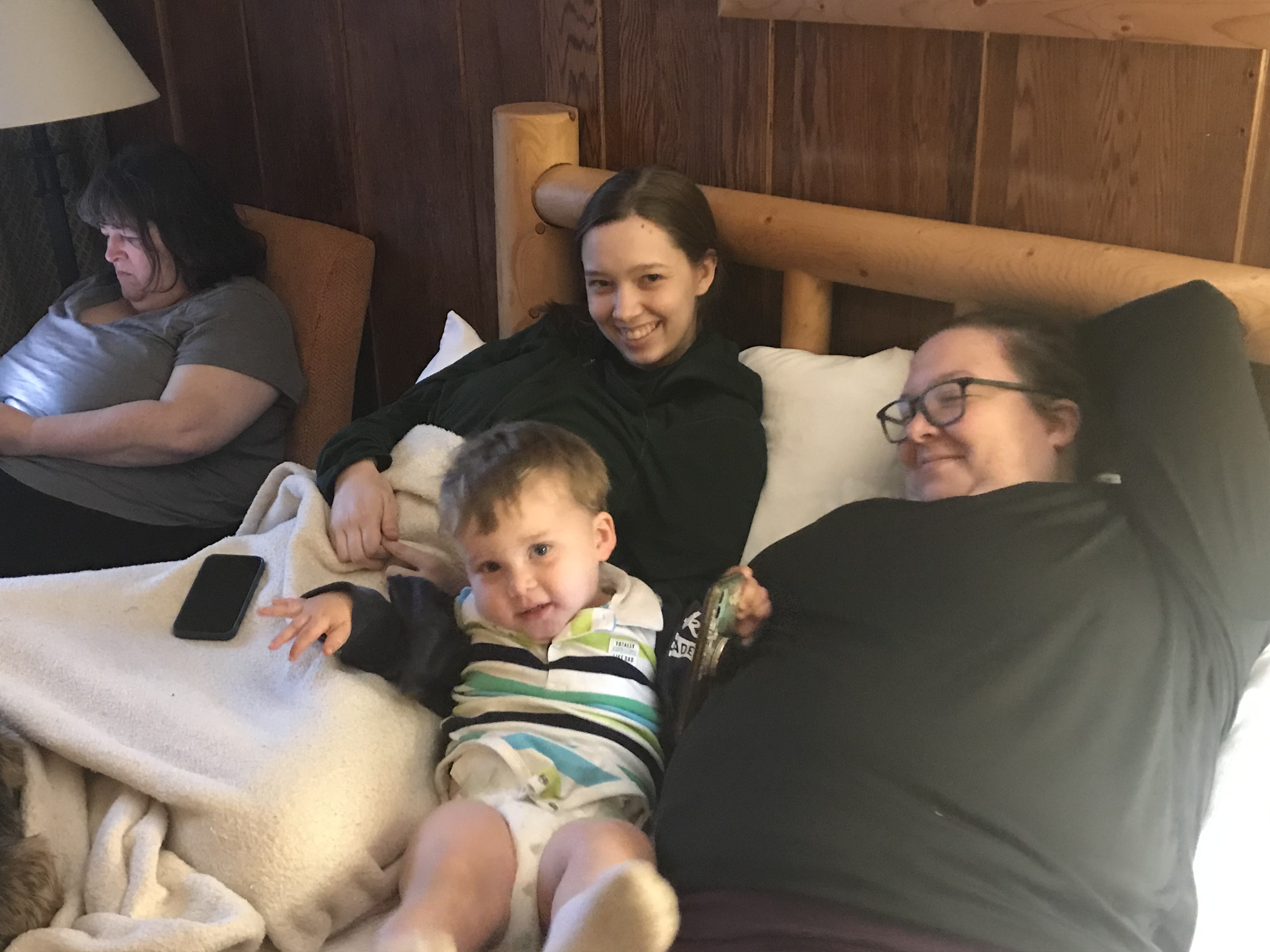
With the "trail" family at Big Meadows.


"Would I Lie to You?" - Eurythemics

Tuesday, April 20, 2021

I Walk the Line

Since my last post, I've continued to do some day hikes on the Appalachian Trail. I use a number of applications and tools to track my hikes: Gaiagps, AllTrails, Guthook and a Garmin InReach mini. My favorite of these tools is the Gaiagps app which I can use on my phone in Airplane Mode and still track my hike. For some reason, last year when I started my AT thru-hike attempt, I either forgot to turn the app on or chose to use a different app some days. So, I had a gap on my map which was getting on my nerves. Most of my hikes over the past month have been to fill in those gaps so that I now have a 200-mile continous line on the map from Springer Mountain, Georgia to Clingman's Dome TN/NC, along with many other hikes I've completed in the region.

Screenshot from my Gaiagps map.


Long Creek Falls near Three Forks


On Monday, March 8th I did 8.96 miles out and back from Three Forks to Hightower Gap on the AT. On Thursday, March 11th I did the stretch from Cooper Gap to Hightower Gap, 6.95 miles roundtrip. Monday, March 15th was Cooper Gap to Gooch Gap, 9.1 miles. Finally today, I completed Woody Gap to Gooch Gap, 7.21 miles. My continuous line is now complete, even if it is a sign of some obsessive-compulsive behavior!

On Ramrock Mountain.

The view from Ramrock.


I also did quite a few hikes at the Sawnee Mountain Preserve which is much closer to home and allows me to replicate some AT trail-type hiking for excercise without the longer drives to AT trailheads. Next week, we'll be visiting one of our adorable grandsons in Winchester, VA. Then I plan to hike the AT sobo through Shenandoah National Park for about 9 days.

Wild turkey at Sawnee Mt. Preserve.

Hundreds of Mayapples near Ramrock Mt.


"I Walk the Line" - Johnny Cash


Thursday, March 4, 2021

Boogie Woogie Bugle Boy

 Day Hikes on the Appalachian Trail and the Benton MacKaye Trail.

Well, it's been five months since I last posted. I had intended to do more hikes during the fall and winter but life get's in the way sometimes. When I left the Appalachian Trail last October at Clingman's Dome in the Great Smoky Mountains National Park, my plan at the time was to pick up again this year and continue on my thru hike. Here we are in a new year and Covid-19 is still with us. More importantly for me, during the winter I decided to start another Master's Degree program in World War II studies (thus the blog post title) because who doesn't need another expensive hobby? So my plan for this year is to do some longer section hikes of three to four weeks during semester breaks and then maybe try and complete the AT next year.

Tuesday, March 2nd, I finally got back out on a trail for a day hike. I did about 6 1/2 miles hiking to the summit of Springer Mountain where the AT begins and completing a sort of figure 8 loop hike on the AT and BMT. Tuesday was quite cold, cloudy and blustery. It was good to get back on a trail even though the hiking conditions were not the best. But it wasn't raining, so that was nice.

On the trail to Springer Mt.

The view from Springer Mt. on a cold day.

Back to the beginning. AT start on Springer.


Thursday, March 4th, I did another 4 1/2 miles of a loop starting at Three Forks, hiking up the AT to the BMT junction and then back to Three Forks on the BMT. On both hikes I met lots of thru-hikers beginning their journeys as part of the Class of 2021. Also met a great group of 15 teenage boys from a Boys Club in Ohio hiking on the AT for two weeks.

Sunshine at Three Forks.


Crossing the bridge at Three Forks.


"Boogie Woogie Bugle Boy" - The Andrews Sisters


Monday, October 5, 2020

Rocky Top

 GSMNP Trailhead to Clingman's Dome

AT miles hiked - 200.0

AT miles to go - 1,993.0

Friday, October 2nd, Craig dropped me off at the trailhead for the Great Smoky Mountains National Park section just beyond Fontana Dam.  I was back on trail by 8:00 am.  My pack felt very heavy with 3 1/2 days of food and cold weather gear.  The day's hike was almost all climbing.  First was the 3 1/2 mile climb up Shuckstack Mountain to the old fire tower there.  The weather was sunny, but very cool and breezy all day.  The fire tower was pretty sketchy with hardly any railings and swaying in the wind.  I only climbed to the first landing before I decided the view from there would have to do.  My destination for the day was Mollie's Ridge shelter and total mileage was just under 11 miles.  It was another cold night, in the low 40s, but once I got bundled into my sleeping bag I was warm enough.

Entering the GSMNP.

At the open ledges on the climb to Shuckstack.

A view from the Shuckstack fire tower.

Chimney from the old ranger's cabin on Shuckstack.


Saturday was another very tough day.  Although I slept okay, my legs never fully recovered from all the climbing the previous day and my right ankle complained the entire way.  The day was again sunny and cool.  Lots of climbing again.  In fact, the hike through the Smokies began to feel like one endless climb.  The highlight of the day was making it to the summit of Rocky Top for some beautiful views.  Frankly though, by the time I made the summit I was so exhausted I didn't enjoy the views as much as I should have.  But I did take a break and ate some lunch before continuing on.  Rocky Top was followed by another climb over Thunderhead Mountain.  I made it to my planned stop at Derrick Knob shelter by late afternoon and enjoyed one of the better meals in my pack - a Mountain House Chili Mac.  Mileage for the day was just under 12.

Fall colors on the way up Rocky Top.

A view from "good ol' Rocky Top."

Exhausted after the Rocky Top climb.

Another view from Rocky Top.


Sunday was the finish at Clingman's Dome, the highest peak on the Appalachian Trail.  My original plan had been to hike all the way through the GSMNP and then resume my thru-hike next year.  However, as the day progressed and my ankle continued to complain the entire way, I decided a change of plans was in order.  I had planned to stop at Double Springs Gap shelter and then climb Clingman's on Monday morning on my way to Newfound Gap.  Having all morning to ponder on it as I continued climbing, I decided the 200 mile mark at Clingman's Dome would make a great stopping point - and more importantly an easier time and location for my brother to pick me up.  So I pushed on for a total of 10.5 miles to reach the parking area at Clingman's.  I didn't actually climb the last 0.3 miles to the observation tower at the summit as I decided I wanted to save that for a possible finishing location next year.  My current plan is to resume my hike somewhere north of the Smokies and then, when and if I make it to Katahdin, to flip back down and finish the Smokies going southbound back to Clingman's.

A Common Garter snake crossing the trail.

A view on the climb to Clingman's Dome.

Another view from Clingman's Dome.

And yet one more view from Clingman's.


Over the next several months, I plan to continue hiking and doing Summits on the Air activations until I resume my AT hike next spring.  Blog posts may be less frequent, but I'll still be updating my adventures.


"Rocky Top" - Osborne Brothers

Thursday, October 1, 2020

Jacob's Ladder

Stecoah Gap, NC to Fontana Dam and the Great Smoky Mountains National Park (GSMNP)

AT miles hiked - 167.4

AT miles to go - 2,025.6

Wednesday, September 30th, was a beautiful day for hiking.  Craig dropped me at Stecoah Gap a few minutes after 8:00 am.  It was clear, breezy and quite chilly, probably in the low 50s.  I slack packed from Stecocah Gap to Yellow Creek Gap, just 7.67 miles.  The first part of the hike included a fairly steep, mile long climb to called "Jacob's Ladder."  I last hiked this section over 10 years ago with me son, Jacob, as we were training for our backpacking trip at the Philmont Scout Ranch in New Mexico.  Neither of us will ever forgot that day.  Soon after topping out of the climb, Jacob was a ways behind me when I heard him yelling.  As I turned back to see what the matter was, he came running in my direction.  One of us had somehow stirred up a ground nest of yellow jackets and he was being attacked by them.  He was stung something like eight times before we could escape them.  What a day!  Fortunately, no yellow jacket encounters this time through!  My right ankle was a little tender, but nothing too serious.  I had one partial view through the trees to a branch of Fontana lake.  The sky was clear all morning and the mountains looked crisp in the fall weather.  I arrived at Yellow Creek Gap at 12:30 and ate my sandwich while waiting for Craig to come pick me up. 

A view southeast from Stecoah Gap.

Fontana Lake in the distance.

Cody Gap.

Thursday, I slack packed again.  Craig and I dropped my truck at the trailhead entering the Great Smoky Mountains National Park (GSMNP) and then he drove me back to Yellow Creek Gap where I resumed my hike northbound.  It was quite cool and misty, but I had a climb right at the beginning, so warmed up quickly.  Before long, I had gained enough elevation to be above the mists and the sun was out, but most of the trail was in the trees with no views to speak of.  At the about the six mile mark I emerged from the forest into the parking area for the Fontana Village Resort Marina.  There was a beautiful Coke machine outside the restrooms and I made beeline for it, only to find it required exact change and I didn't have any.  In despair, I turned around and saw a sign advertising snacks, drinks, etc. at the Fontana Marina.  Hooray!  I walked down to the marina and bought a coke and a hotpocket for lunch.  Refreshed, I continue on my way.  I passed the famous Fontana Hilton shelter and then crossed the Fontana Dam.  Looming off to the right was a great view of Shuckstack mountain and the fire tower at the top - Friday morning's first introduction to the GSMNP.

Spider web in the sun.

Sun shining through the mist.

Coke machine with a halo - but it was lying to me.

The Fontana marina saved the day.

The Fontana Hilton shelter.

Crossing Fontana Dam.

Fontana Dam.

Shuckstack mountain awaits!


This evening, I'm dropping my truck at my brother Chris's home in Robbinsville and tomorrow I'm off to the Smokies!


"Jacob's Ladder" - Bruce Springsteen

Tuesday, September 29, 2020

Catch My Fall

 Tellico Gap, NC to Stecoah Gap, NC

AT miles hiked - 150.6

AT miles to go - 2,042.4

Friday, September 25th, I took a planned zero day.  The weather forecast called for rain off and on all day, so it turned out to be a good day for a zero.  After breakfast, I actually drove back home so I could pick up my colder weather down mummy bag.  It looks like the nighttime temps will be getting past the rating of my down quilt, especially in the Smokies, and I want to stay warm.  I had also purchased a pair of down "socks" or booties from a small gear company in Gainesville, GA which just happened to be right on my route home.  Hopefully, now I won't have to worry about cold feet at night.  I had lunch with Marci, did some grocery shopping, took the dogs for a walk and then headed back to the hostel in Franklin, NC.

Saturday morning, Sunsets drove me back to Tellico Gap and I was, again, headed northbound about 8:40.  As always, since the trailheads seem to be in gaps, the first mile plus was a climb - this time to Wesser Bald and the lookout tower located on the summit.  It was not a bad climb and, although it was quite cloudy and overcast, there was still a beautiful view to be had.  The rest of the hike was mostly down hill, several thousand feet of elevation, to the Nantahala Outdoor Center (NOC) and the bridge crossing the Nantahala river.  I arrived there just after 1:00 pm.  Since it was the weekend, the place was pretty busy and crowded with people.  I ordered a sandwich from the River's End restaurant and was waiting for my order when Sunsets arrived to shuttle me back to the hostel.  Dinner for the evening was some delicious Mexican food from the Mi Casa restaurant in Franklin.

Panoramic view from Wesser Bald lookout tower.

On top of Wesser Bald lookout tower.

Descending into the "land of the midday sun."

Fall colors appearing.


Crossing the bridge over the Nantahala River.

Sunday was another zero day so I could relocate my "base" to "Hawk's Hiker Haven" in Stecoah.  I left Chica & Sunsets mid-morning and drove to Stecoah where I got settled into my next hostel.  It's a small, one room cabin with a set of bunk beds, a futon, shower, toilet, sink, microwave, toaster and small fridge.  Not much in the way of luxuries, but just what a hiker needs to be comfortable.

Saying goodbye to Chica & Sunsets.

Hawk's Hiker Haven, Stecoah, NC.

My base for the next section.

Monday morning, September 28th, Craig, the owner of the hostel, shuttled me to the Stecoah Gap trailhead.  I had chosen to do this next section SOBO from Stecoah Gap, up over Cheoah Bald and down to the NOC so as to avoid the long, long, long climb out of the Nantahala River gorge.  It was still almost a six mile climb to the summit of Cheoah Bald.  I had planned to do this section of just under 14 miles as an overnight, staying in the Sassafras Gap shelter.  However, I was feeling strong during the climb, and with the forecast calling for rain later in the day and overnight, I decided I was going to do the whole section in one day.  After summiting Cheoah, I had a short break to eat a late lunch and then headed down.  Just short of the shelter, I had my first fall.  In the blink of an eye, I stepped on something wrong, rolled my right ankle, and landed on my hands and left knee.  My first thought was, "Maybe I'll be staying in the shelter tonight after all!"  But I was able to shake it off and after a few moments of pain and annoyance I was headed SOBO again.  At the side trail to the shelter, I tied my shoe tighter and downed a few vitamin-I (ibuprofen).  From the shelter, it was almost eight miles of steep down hill.  I arrived at the NOC for the second time about 6:15 pm, grabbed two cokes and a microwave biscuit sandwich from the General Store and waited for Craig to pick me up.  Total mileage for the day was 13.81 and I was glad to be in a cozy bed for the night.

My first sighting of a red Eastern Newt.

On the summit of Cheoah Bald.


Looking down into the Nantahala River gorge from the "Jump Up."

It rained all night and Tuesday turned out to be the perfect day to take another zero.  It rained heavily during the morning and off and on all day.  I drove home to do laundry and have lunch with Marci and was back at the hostel about 6:30 pm.


"Catch My Fall" - Billy Idol